Located in north-east geopolitical zone of Nigeria, Taraba State was created out of the defunct Gongola State in 1991 and it is divided into sixteen local government areas which include Ardo Kola, Bali, Donga, Gashaka, Gassol, Ibi, Jalingo, Karim Lamido, Kurmi, Lau, Sardauna, Takum, Ussa, Wukari, Yorro, and Zing.
History
Taraba State which comprises the pre1976 divisions of Muri, Mambilla and Wukari, was created out of the former Gongola State on 27 August 1991, by the military government of General Ibrahim Babangida. The state is named after the Taraba river which transverses the southern part of the state. The state is popularly called ‘Nature’s gift to the Nation’.
People & Culture
Taraba is a highy hetergeneous, multi ethnic state with close to eighty indigenous ethnic groups speaking different languages. Some of the major ethnic groups include Fulani, Mumuye, Jukun, Jango, Kuteb, Chamba and Mambilla. The major occupation of the people of Taraba state is agriculture, and other primary activities like fishing, pottery, clothweaving, dyeing, matmaking, woodcarving, embroidery and black smithing. There are a variety of cultural festivals mostly performed to mark harvest, initiation into manhood or womanhood, installation of rulers, marriages and other ceremonies and entertainments.

Weather/Climate
Like most parts of northern Nigeria, Taraba State has a wet and dry climate; the wet season lasts, on the average, from April to October with mean annual rainfall that varies between 1058mm in the north around Jalingo and Zing, to over 1300mm in the South around Serti and Takum. The wettest months are August and September. The dry season lasts from November to March; the driest months are December and January with relative humidity dropping to about 15 percent. Mean annual temperature around Jalingo is about 28°C with maximum temperatures varying between 30°C and 39.4°C, and minimum temperatures range between 15°C to 23°C. The Mambilla plateau has climatic characteristics typical of a temperate climate.
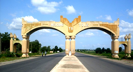
Cities & Towns
Other important cities and towns include Jalingo, Takun, Wukari, Zing, Sardauna, Bali, Yono, Kurmi, Ibi, and Gashaka.
The plateau comprises mountain chain of Adamawa, Obudu,Shebshi and Alantika. The plateau is about 1,830 metres above sea level. It has temperate climate within the tropical region. It has an undulating landscape free of insects. Temperate crops like avocado pear and strawberries are abundant on the the plateau. The plateau is considered as the highest point in Nigeria and probably in Africa. As soon as you reach the top of the mountain, the hot weather witnessed at the foot of the mountain disappears as you are welcomed to a fresh and very chilled breeze blowing across the plateau.
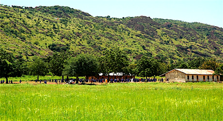
Gashaka-Gumti Game Reserve
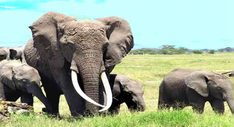
Covering about 6600 sq km, Gashaka Gumti is the Nigeria’s largest national park. This area is important not only as a major watershed but also as a haven for a rich and exotic assemblage of wildlife, given its strategic location at the interface between the moist Cameroonian Highland and the dry Sub-Saharan Guinea Savannah. The Northern Gumti sector is flat and home to large savannah animals such as elephant, hyena, wild dog, lion, roan antelope and the giant eland. This reserve parades the largest and richest reserve south of the Sahara. It contains various flora and fauana with varied bird viewing possibilities
Ngel-Nyaki Forest Reserve
Located an hour drive away from Yelwa in Taraba State, between Serti and Gembu, about 60km west of Gashaka Gumti National Park. The reserve is surrounded by montane grasslands with other forest blocks nearby. The forest is diverse in species composition and has many tall emergent trees. Eighty-six species of birds such as Apalis, jacksoni, banner man’s weaver, cross ley’s ground thrush have been reported wildlife in the park includes chimpanzees, buffalos, monkeys and antelopes.
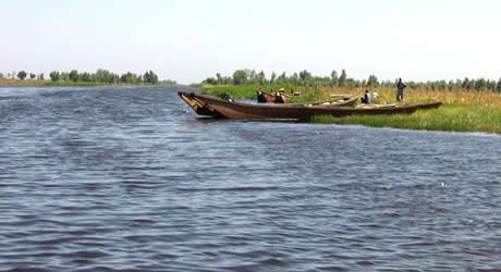
Donga River Basin Forest
With over 190 species of birds recorded, this is one of the major sites for bird watching in Nigeria. Birds recorded here includes forest francolin, dusky long-tailed cuckoo, white-bellied kingfisher, spotted honey guide, hartlaub’s duck, green hyla, African pied hornbill, red headed malimbe etc. The area is lowland forest beside the Donga river, south of Buru village and about 10km fro the border with Cameroon.
Other attractions
[tab:Eating Out] Not yet posted [tab:Shopping] Not yet posted [tab:Hotels] Not yet posted [tab:Gallery] Not yet posted [tab:END]