The Mambilla Plateau is a high grassland plateau with an average elevation of about 1,524 metres (5,000 ft) above sea level, making it the highest plateau in Nigeria.
The plateau which has an undulating landscape free of insects, also has temperate climate within a tropical region.
Located in the highland region of Taraba State of Nigeria, Mambilla plateau houses Chappal Waddi mountain considered as the highest point in Nigeria and probably in West Africa with an average height of about 2,419 metres (7,936 ft) above sea level.
As soon as one reaches the top of the mountain, the hot weather witnessed at the foot of the mountain disappears and you will be greeted by fresh and very chilled breeze blowing across the plateau.
Mambilla Plateau People And Culture
Mambilla people of Nigeria and Cameroon live on the Mambila Plateau (in Taraba State in Nigeria) and on the Tikar Plain in Cameroon as well as in several small villages further north towards the town of Banyo. These people regard themselves as a group with a common identity.
At an altitude of some 700 m these villages live in a different ecological zone where oil palms grow and gallery forest is found. The Mambila language is a congeries of dialects and related languages.

Mambila Plateau features unique physical and climatic conditions for human settlement and cattle breeding. During the 19th century the highlands became the main source of slaves for the Muslim Fulani kingdoms of Banyo and Gashaka. Although resisting strongly, the Mambila villages fell one after the other.
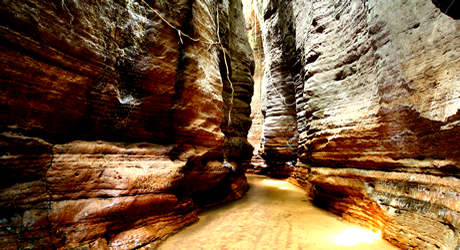
The plateau which developed on basement complex rocks, measures about 96km along its curved length and 40km wide, and bounded by an escarpment which is about 900m high in some places.
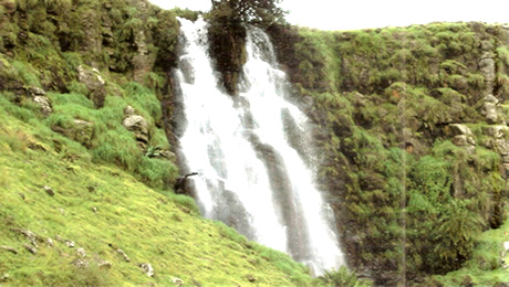
The Mambilla Plateau forms the watershed from which the major drainage systems in Taraba State take their source. Rivers Benue, Donga and Taraba (from which the state derives its name) are the dominant drainage systems which flow across the Muri plains to drain the entire state
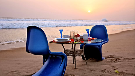
Mambila plateau offers attractive settings, well worth a visit. It has cattle ranches, tea plantations and rolling, grassy hills. It is home to some rare species of birds and animals, especially at the Gashaka-Gumti National Park.
When To Visit Mambilla Plateau
Mambila plateau has some of the coolest climatic condition in Nigeria with daytime temperatures sometimes reaching around 40C.
The driest months are from December to January with relative humidity dropping to about 15 percent while the wet season usually starts from August till September.
Mambila plateau has mean annual rainfall that varies between 1058mm in the north around Jalingo and Zing, to over 1300mm in the South around Serti and Takum.
Because of the remote location of the plateau and lack of properly tarred roads which are still under construction, utility vehicles are recommended and visitors should make sure that essentials camping equipment and food are included in their journey.